CHALLENGE
A new boutique hotel needs to introduce itself.
SOLUTION
Write compelling copy for consumer-facing web and in-room collateral.
ROLE
Writer
TRIBUTARY HOTEL
BRAND & MARKETING COPY
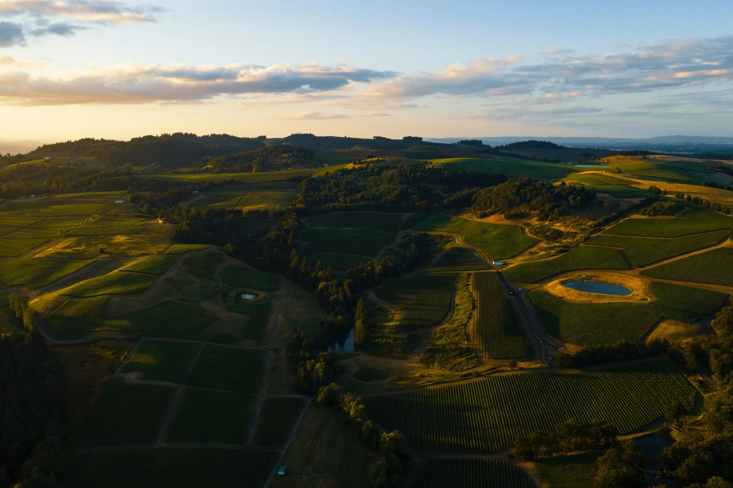
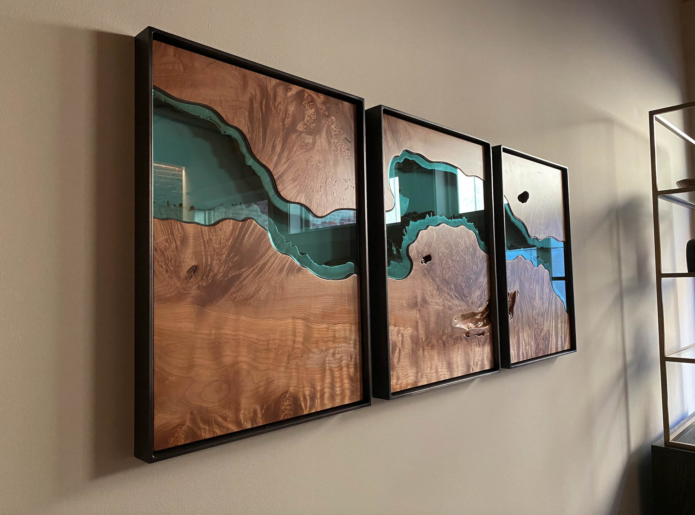
The secret’s out about Oregon wine country. People come from far and wide to wine and dine and take in the spectacular scenery. The team behind Tributary wanted to go a step beyond. The boutique hotel, situation in the heart of town on historic Third Street offers guests a luxury experience with a story. And I happened to write that story. Each room was named after an Oregon river, and guests were provided with welcoming materials informing them about the river to better accustom them to their surroundings and give them a sense of place.
A Brief History of McMinnville & Our Building
Walk down Third Street in McMinnville and it’s easy to sense a universality in its charm and familiarity. One that extends far beyond the town, the Willamette Valley or even Oregon. Like other pioneers joining the Great Migration of 1843, William T. Newby was stricken with an adventurously optimistic outlook on what would betide in the faraway wilds of the Pacific Northwest. But he was also journeying thousands of miles from the place he knew best. So, like many towns dotting the Oregon Territory, he named his newly established land after his home—which happened to be McMinnville, Tennessee, itself named after a Revolutionary War veteran.
Since the early 20th century, Third Street has shifted from a hub of agriculture and industrial supply to a favorite place for locals and tourists to dine—with, of course, a glass of wine. Although the surrounding Willamette Valley is known globally for its enviable viticultural prowess, it’s in fact a fairly recent addition to McMinnville’s delightful reputation. The early vintners of the 1970s helped transform McMinnville yet again, this time into a destination for wine lovers worldwide. Now, the surrounding land alone boasts 220 wineries of the Willamette Valley’s nearly 600 total.
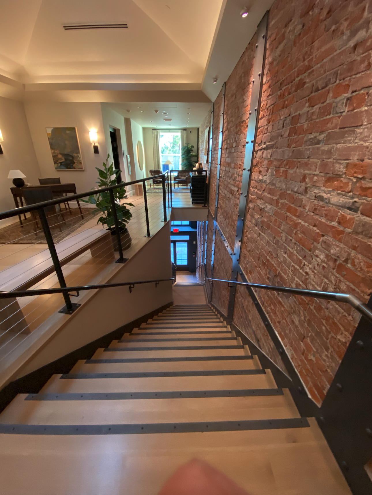
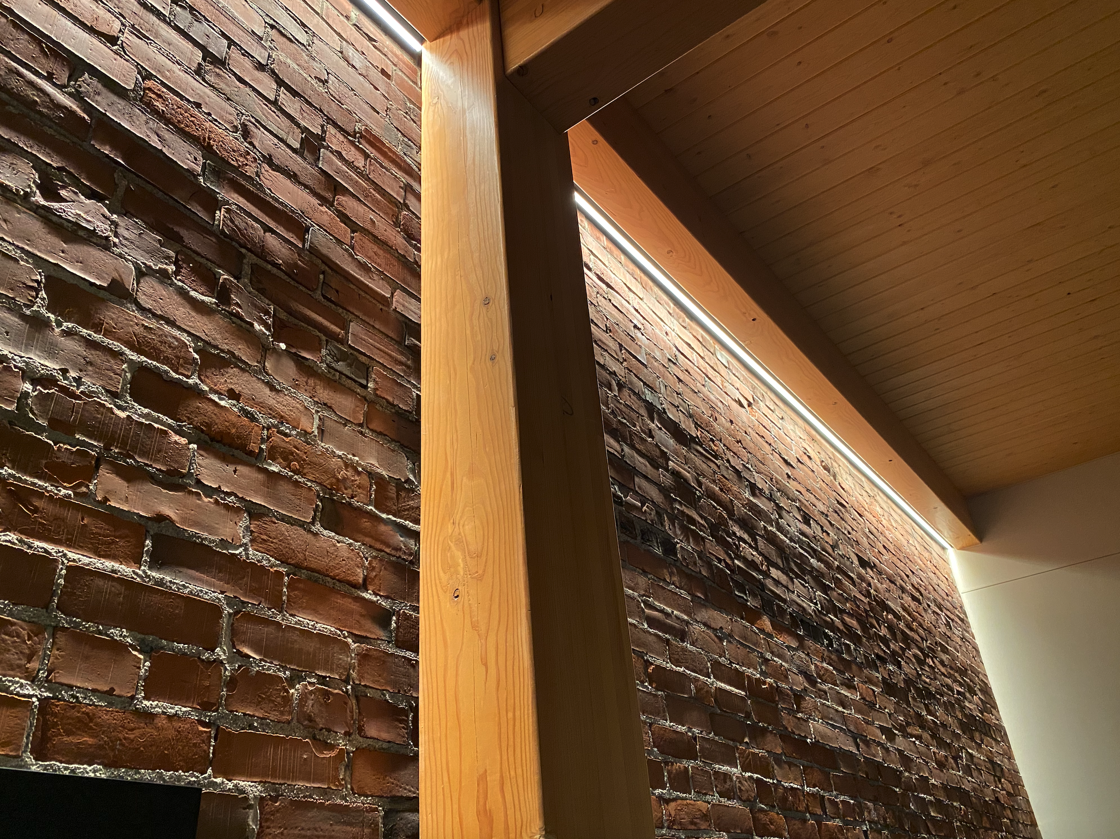
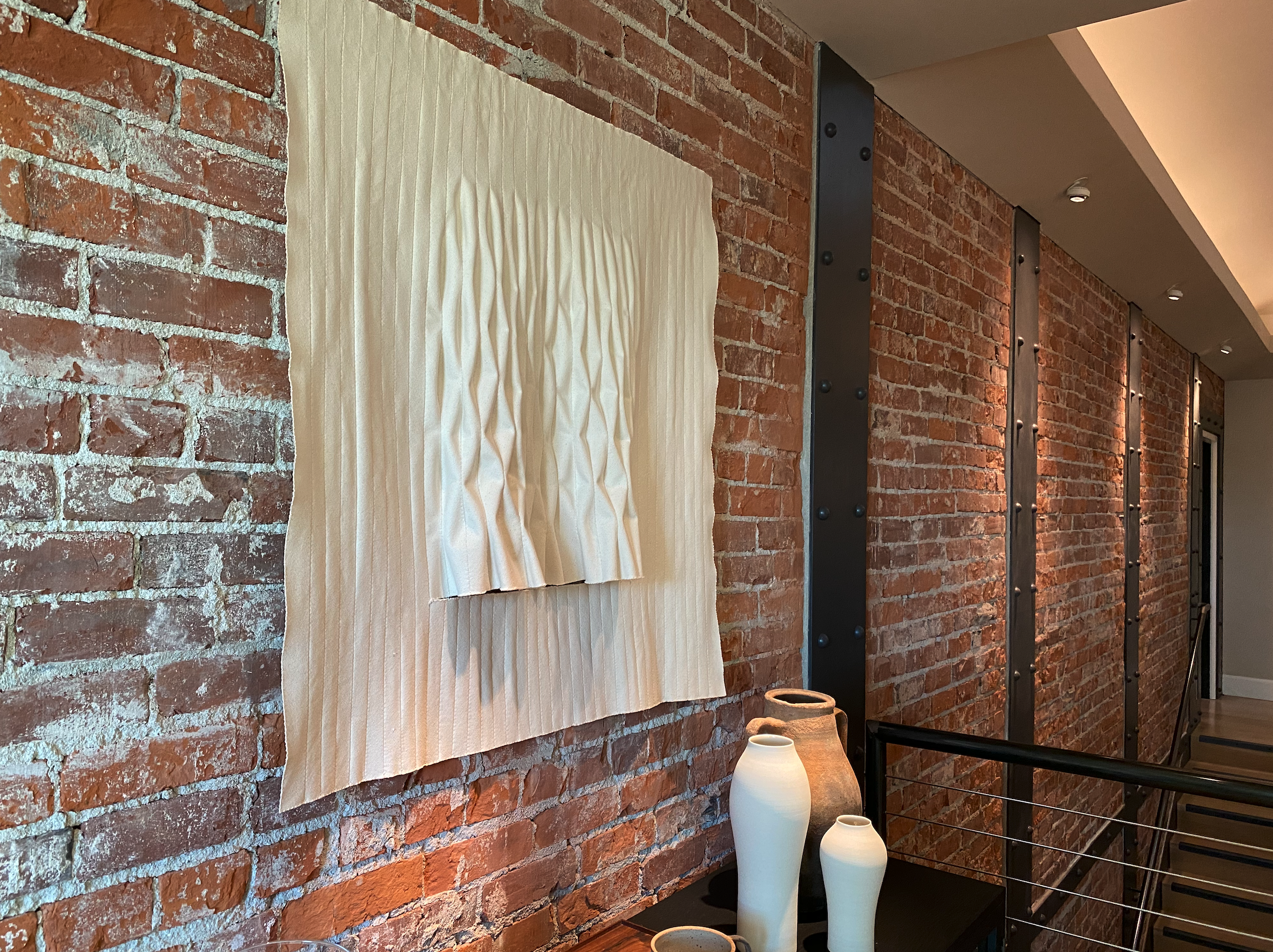
And all the while as the town was founded and flourished, our Tributary building has stood humbly watching in the background. It has stood and remained a fixture of downtown McMinnville, serving the community however was most appropriate at the time, whether that was a farming supply shop, apartments or a hardware and general store. That’s why we lovingly restored it, preserving as much of the facade as possible while highlighting the interior brickwork. It’s an homage to our town’s history—and the best representation for everything to come. Like William T. Newby, thousands of Oregon homesteaders, a vibrant culture of winegrowers and the citizens who’ve made McMinnville their home, we have our hearts in the past and our eyes on the future. We hope you enjoy your stay on our favorite street in Oregon.
A Tribute to the Willamette River
The Willamette Suite
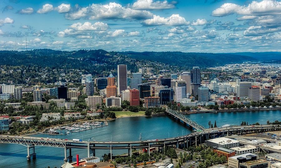
Arguably best known for its proximity to Portland, bisecting the city east to west, the Willamette connects Oregon’s northern border to the mountains south of Eugene. Although considered a main tributary of the Columbia River, which separates Oregon and Washington, the Willamette actually flows south to north—just another bit of rare splendor in our Pacific Wonderland. Formed about 35 million years ago through plate tectonics, and altered during the Missoula Floods of the last ice age, this glorious river has been a beacon of the Northwest for years. First for tribes of indigenous Kalapuya, Chinook, and Clackamas peoples; then for Lewis and Clark and flocks of Oregon Trail pioneers; and of course 20th-century industrialization. All the while, it’s been known to course through the veins of some of the most fertile land in North America. However, thanks to true Oregonian spirit and ingenuity, since the 1970s the mighty river’s surrounding Willamette Valley has become synonymous with some of the best wine in North America—and even the world.
A Tribute to the Klamath River
The Klamath Suite
Called “a river upside down,” the Klamath is anything but an ordinary waterway. As opposed to most others which start rural and culminate in industrialized areas, the Klamath River flows from southern Oregon high desert into mountains and only gets wilder as it approaches the California coast. Its basin has been deemed the “Everglades of the West” and the Klamath’s rugged character has been enjoyed for thousands of years by the massive salmon, steelhead and rainbow trout which flow through its warm waters. Their anadromous migration in turn provided Native American tribes like the Shasta, Yurok, Hupa and Klamath with food and a way of life. In fact, the shores of Ishi Pishi Falls off current-day California Highway 96 has been a traditional fishing ground for centuries, and the river gets its name from the Upper Chinook word for the eponymous tribe—literally meaning “they of the river.” Unfortunately, decades of industrialization and damming have posed challenges for the cleanliness of the Klamath. But conservationists, ecologists and its indigenous advocates point to its upside-down nature as its saving grace. If the populous areas at the source can do their part to remedy harmful practices, then perhaps things can start looking up downstream.
A Tribute to the Yamhill River
The Yamhill Suite
At the confluence of the North and South Yamhill Rivers, the Yamhill wends its way past Lafeyette and Dayton to join the mighty Willamette. Though a relatively small tributary—it flows only 11 miles from the source until reaching an end near Newberg—the Yamhill is home to flourishing populations of native coastal cutthroat trout, Willamette winter steelhead and naturalized Coho salmon. Anglers, paddlers and hikers alike can enjoy the Yamhill’s offerings today, but a look into the past paints a different picture. Prehistoric remains of mammoths, giant ground sloths, ancient bison and other megafauna from the late Pleistocene have given the river paleontological and archaeological significance. Later inhabited by Native Kalapuya tribes who fished its waters and maintained the surrounding oak savannah, European settlement, dams, locks and barge traffic disrupted the Yamhill’s natural order. Hatchery introductions rejuvenated the river’s fish population in the mid-20th century and outdoor enthusiasts have since elevated the importance of keeping it clean and accessible. Directly to the north, the Yamhill-Carlton AVA is a pastoral bastian of Oregon Pinot noir, a wine varietal redolent of the river’s naturalistic spirit: even a small glass will give you a whole lot of flavor and a big story.
A Tribute to the Deschutes River
The Deschutes Suite
Standing on the blissful shores of the Deschutes today, seeing rafters, anglers and families out for adventures, it’s hard to believe what a major obstacle this was for Oregon Trail pioneers. In the mid-1800s after Lewis and Clark’s encounter with the Columbia tributary spanning from the Washington border to south of Bend, the Deschutes was yet another hurdle to the promised land of the West. This treacherous river passing was fifty million years in the making. Volcanic eruptions created its dramatic basin layered in colorful basalt, ash and sedimentary formations, while lava flows even went so far as to change the river’s direction. Only in the last 10,000 years have humans called the Deschutes home—its name originally the Native American Towarnehiooks, then Clarks River, and settling on Rivière des Chutes in the French fur trading days. Dozens of prehistoric sites have been uncovered in its lower canyon, and more will undoubtedly be found in the future. It’s all proof that no matter how rugged the surrounding land, no matter how treacherous the river was once to portage, people have seen something here. They’ve been continually drawn to the Deschutes River; it is an icon, a wellspring and a mirage in arid high desert—and the heart of central Oregon.
A Tribute to the Siletz River
The Siletz Suite
Tk’a the Transformer created the world and its people, then gave them the gift of salmon. These people migrated across the Bering Strait ten thousand years ago and called this swath of coastal Oregon home. When Tk’a’s soul left the land of the living, his body assumed the form of Medicine Rock at the riverbend to watch over all he created. So it is believed by the Siletz people, whose Native name, Se-la-gees, translates to “crooked river.” Contact with this Tillamook tribe was undocumented until the late 18th century, starting with the Lewis and Clark and other expeditions. As homesteaders arrived and established towns, salmon still abounded in the crooked tributary, with early locals saying you could see constant trickling along the water surface as the fish swam upriver to spawn. As the logging industry took hold in the region, more towns sprang up and tourism eventually became a leading draw. The Siletz River’s distinct horseshoe shape hooks around 67 miles of coastal Oregon, dotted in towns with roots in early industry, and finally empties into Siletz Bay in Lincoln City. Though it meanders, the source and mouth are uniquely at almost identical latitudes—perhaps a natural nod to the Siletz people’s transformational creator and the cycle of life returning to earth.
A Tribute to the Columbia River
The Columbia Suite
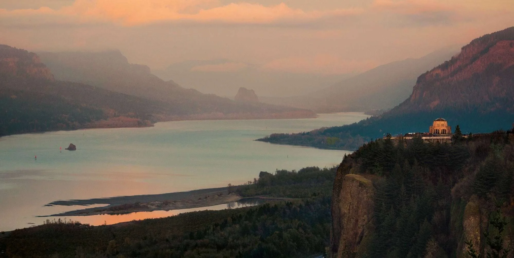
“Roll on, Columbia, roll on,” sang Woodie Guthrie. The folksy tune conjured images of hydroelectric prowess and harnessing Mother Nature. But the mighty Columbia was here long, long before any of us. When Pangea broke apart, the Pacific Northwest as we know it was not part of the North American continent. It was only through millions of years of plate subduction and volcanic eruption did the region form, and with it, the Columbia River basin. As the Cascade Range uplifted about 5 million years ago, the Columbia carved its titular gorge between Washington and Oregon we know today. The river’s plentiful salmon allowed indigenous people to establish settlements along its fertile shores. They called its waters by different names but the Native Pacific Northwesterners all appreciated the same majesty and abundance. Eventually, more explorers, settlers and homesteaders heard the call and found their way out here as well. But the Columbia’s reputation has always preceded it. Even in Jonathan Carver’s 1778 map of the region, the river’s distinctive mouth can be seen, despite sparse other details. Though the Columbia has been well documented and studied since, geologists are still finding new clues to its formation. From the Rocky Mountains of British Columbia to the Pacific, it’s the fourth largest river in the United States. Now, more people than ever depend on it either for a home, business, recreation or, most probably, power—as Mr. Guthrie succinctly put it: for turning our darkness to dawn.
A Tribute to the Rogue River
The Rogue Suite
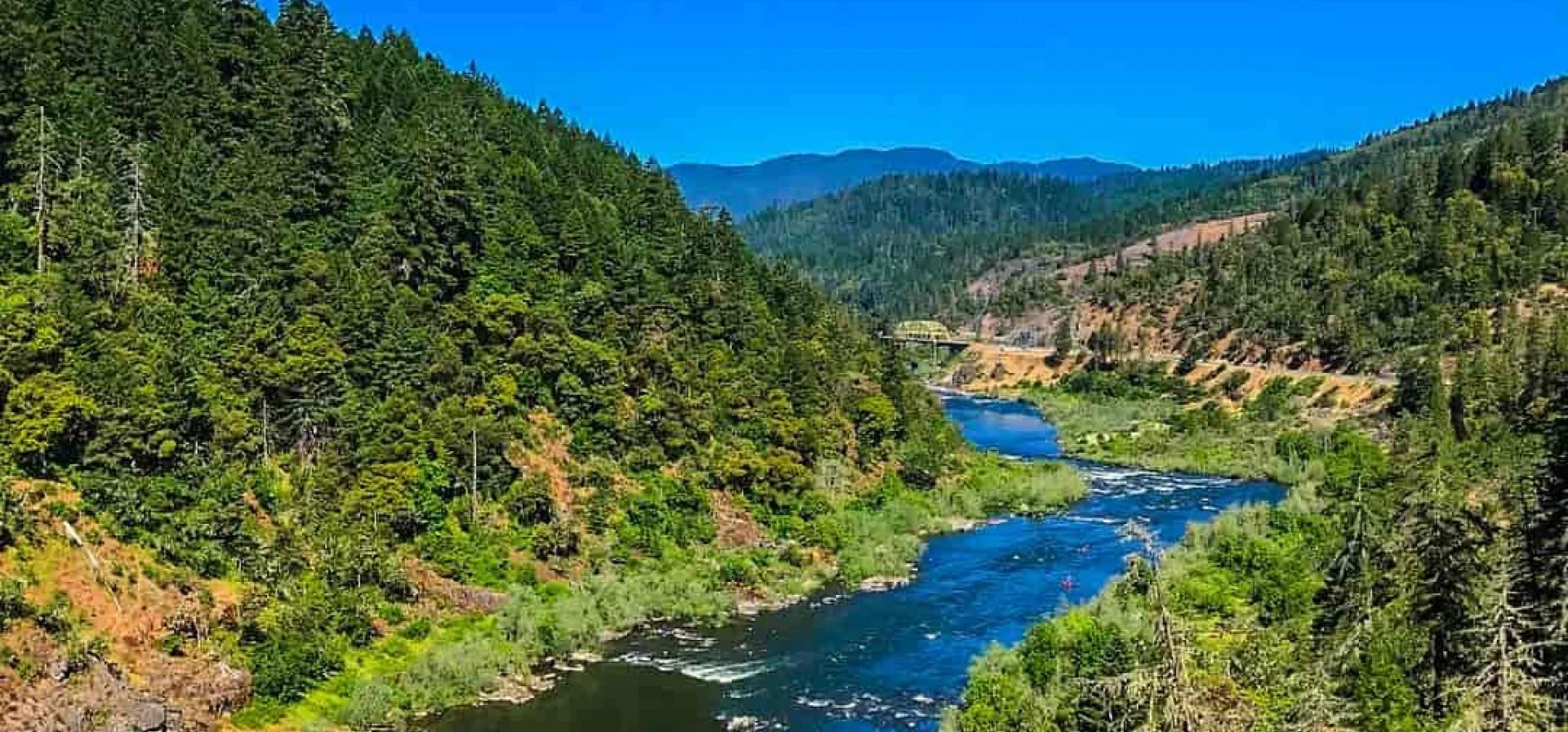
The Wild and Scenic Rivers Act was signed into law by President Lyndon B. Johnson in 1968 to preserve certain American rivers for the cultural, natural and recreational enjoyment of all. Among the original eight deemed worthy of protection: the Rogue River. With headwaters high up in Crater Lake—the six-mile-wide caldera left by the Mount Mazama eruption 7,700 years ago—the Rogue empties at Gold Beach on the southern Oregon coast. Because of its 200-mile flow through relatively ancient and newer mountain ranges, its mineral-rich waters have led to fascinating geological and archeological discoveries—including Oregon’s only known dinosaur fragments. Native Americans called various places along the Rogue watershed home for thousands of years as well. Tribes of Tututni, Shasta, Dakubetede, Takelma and Latgawa all established permanent villages along its streams. Later, miners and settlers came to either strike it rich or build communities centered around the fishing, livestock and hydroelectric industries. The river even maintains one of the only two rural mail-boat services in the U.S. However, even with the changing of times, the Rogue’s draw has always been its natural majesty. With miles of hiking, outstanding fishing and a wide range of river adventures, it’s no wonder why even high-profile icons like John Wayne, Clark Gable, Bing Crosby, Zane Grey and William Faulkner have resided on the banks of Oregon’s wild gem. True to its name, the Rogue does things its own way and is full of surprises.
A Tribute to the Owyhee River
The Owyhee Suite
In the winter of 1778, Captain James Cook visited a tropical archipelago in the south Pacific. He proclaimed it the Sandwich Islands in honor of one of his expedition’s sponsors: John Montagu, the fourth Earl of Sandwich. However, the indigenous inhabitants already called it by their own name: owyhee, simply meaning “homeland.” Over the coming years, this disambiguated predecessor to Hawai’i became common English parlance as more and more Pacific Islanders left to work in Australia, Canada and the United States. In the early 1800s as part of an expedition for the North West Fur Trading Company, three “kanakas,” as these laborers were once called, set off into the wilds of eastern Oregon and were never heard from again. The rough-and-tumble river and region in which they disappeared were colloquially called “Owyhee” as a tribute. The name stuck, and instead of deeming a chain of oceanic islands by its native terminology, the designation was strangely incorporated into Oregon territory thousands of miles away. The grand Snake River tributary flows from northern Nevada up along the Oregon-Idaho border. To this day, with its deeply incised canyon walls, dense wilderness, and habitats for mountain lions, bighorn sheep and a variety of predatory birds, the surrounding land is sparsely populated. And yet, despite its rugged desert locale, the Owyhee River is, at least in spirit, a bit of the tropics in our own backyard.
A Tribute to the Grande Ronde River
The Grand Ronde Suite
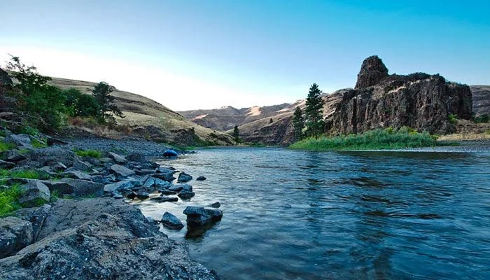
“The earth was created by help from the sun, and made without lines of demarcation.” These are the words of Nez Perce tribal leader, activist and humanitarian Chief Joseph. Chief Joseph led his people in the most contentious period between Native Americans of the Northwest and the United States government. Yet through all the hardships of the Nez Perce, Chief Joseph became well-known for his strength, stoicism and eloquence. The Nez Perce, along with the Walla Walla, Umatilla and Cayuse, once called the Columbia Plateau in the far northeastern corner of Oregon their home. Coursing circuitously throughout this vast landscape is the Grande Ronde River. Flowing from the Blue and the Wallowa Mountains up into southern Washington and the Idaho panhandle, the river cuts between a medley of ancient lava flows and basalt flood eruptions. Once called the “Valley of Peace,” Native tribes and later western settlers were drawn to its shores for the bountiful fishing, hunting, wildlife and hot springs. Early 19th-century French fur traders officially gave the Grande Ronde its name, and it became a popular outpost for Oregon Trail pioneers. Today, the river is heralded by anglers for its summer steelhead and outdoor adventurers for its miles of wild and serpentine rafting, kayaking and canoeing. Looking up from the crystal waters at the 1,500-foot canyon walls leading to the Grande Ronde’s mouth at the Snake River, it’s easy to understand Chief Joseph’s words: our borderlines are imaginary; the only one with any control on how this land is divided is Mother Nature.

